
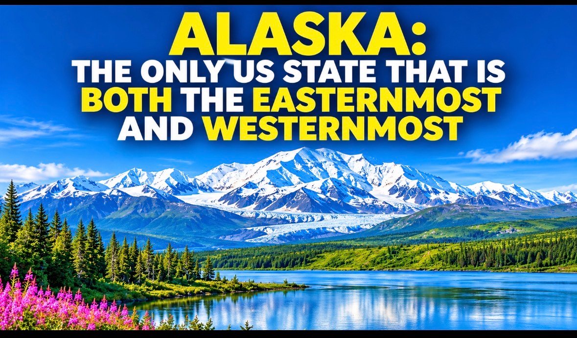
Alaska is famous for its enormous wilderness, towering mountains, glaciers and spectacular coastline. But this American state has a geographical distinction that surprises even many geography enthusiasts: it is both the easternmost and westernmost state in the United States when measured by longitude.
How is that possible?
The answer lies in a remote chain of volcanic islands stretching across the North Pacific Ocean.
The Secret Is in the Aleutian Islands
The Aleutian Islands extend westward from Alaska’s mainland towards Russia. This long chain of islands crosses the 180th meridian, the line opposite the Prime Meridian at Greenwich.
The 180th meridian separates eastern and western longitudes. Once you cross it, longitude measurements switch from west to east.
As a result, Alaska has land on both sides of this meridian.
This geographical arrangement gives Alaska the distinction of containing both the easternmost and westernmost points among the 50 US states when measured using longitude.
Two Islands Behind This Remarkable Geography
Two remote islands help explain this unusual distinction.
Amatignak Island: Located in the Aleutian chain, Amatignak Island contains the westernmost point of the United States by longitude, at approximately 179°06′ west.
Semisopochnoi Island: This island lies on the other side of the 180th meridian. Its Pochnoi Point, at approximately 179°46′ east, is the easternmost point of the United States by longitude.
These two locations are separated by the international longitude boundary, creating one of America’s most fascinating geographical curiosities.
Alaska Is Also America’s Northernmost State
Alaska’s geographical records do not end there.
It is also the northernmost state in the country. Its northern coastline reaches Point Barrow, near Utqiagvik, above the Arctic Circle.
The state is home to Denali, which rises 20,310 feet (6,190 metres) above sea level and is the highest mountain in North America.
Alaska is also the largest US state by land area, covering approximately 586,000 square miles.
Why Does This Matter?
Alaska demonstrates how geography can sometimes challenge our assumptions about directions and maps.
Most people associate east with the right side of a map and west with the left. But longitude is measured around the entire globe, and the 180th meridian creates an unusual situation in the Aleutian Islands.
The result is a state that claims both the easternmost and westernmost geographical extremes of the United States.