
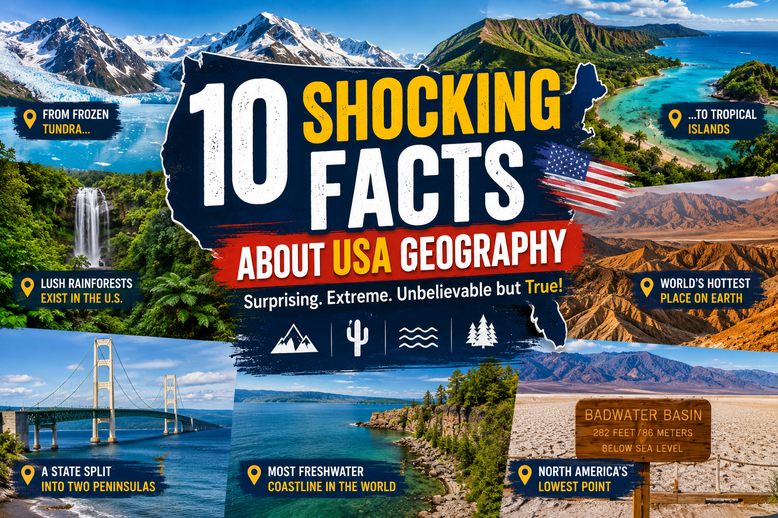
The United States is one of the world’s most geographically diverse countries. From active volcanoes and frozen tundra to tropical rainforests and scorching deserts, America’s landscapes are filled with surprising extremes. While many people know about landmarks like the Grand Canyon or the Rocky Mountains, countless fascinating geographical facts remain largely unknown. Here are ten of the most surprising facts about U.S. geography.
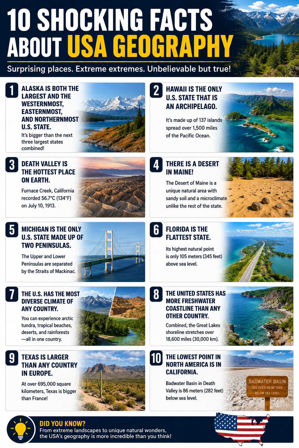
1. Alaska Is Both the Westernmost and Easternmost State
Because Alaska’s Aleutian Islands cross the 180th meridian, the state is technically both the westernmost and easternmost point of the United States. It is also the northernmost state and is larger than Texas, California, and Montana combined.
2. Hawaii Is the Only Island State
Hawaii consists of 137 islands, though only eight are considered the main islands. It is the only U.S. state located entirely within the tropics and the only one made up completely of islands.
3. The United States Has a Temperate Rainforest
Most people associate rainforests with South America, but Alaska’s Tongass National Forest is one of the largest temperate rainforests on Earth, covering nearly 17 million acres.
4. Death Valley Holds a World Heat Record
California’s Death Valley recorded an air temperature of 134°F (56.7°C) in 1913, making it one of the hottest places ever measured on Earth.
5. Michigan Is Split Into Two Peninsulas
Michigan is the only U.S. state divided into two major peninsulas connected by the famous Mackinac Bridge. It is also bordered by four of the five Great Lakes.
6. Florida Is America’s Flattest State
Florida’s highest natural point, Britton Hill, stands only 345 feet (105 meters) above sea level, making it the lowest highest point of any U.S. state.
7. The Great Basin Is a Cold Desert
Nevada’s Great Basin Desert receives very little rainfall, yet it experiences snowy winters. Unlike the Sahara, it is classified as a cold desert because of its high elevation.
8. The United States Has More Freshwater Coastline Than Any Other Country
Thanks to the Great Lakes, the United States has over 18,000 miles (about 29,000 kilometers) of freshwater shoreline—more than any other nation on Earth.
9. Texas Is Larger Than Many Countries
Covering nearly 269,000 square miles (695,000 square kilometers), Texas is larger than countries including France, Germany, Japan, and the United Kingdom.
10. North America’s Lowest Point Is in California
Badwater Basin in Death Valley sits 282 feet (86 meters) below sea level, making it the lowest point in North America. Remarkably, it’s located less than 100 miles from Mount Whitney, the highest peak in the contiguous United States.
From frozen Arctic landscapes to tropical islands and record-breaking deserts, the geography of the United States is unlike that of almost any other country. Its remarkable variety of landforms, climates, and natural wonders continues to surprise geographers, travelers, and nature enthusiasts alike, proving that America offers far more than its most famous landmarks.