United States Geography ~ A brief overview of the geography of the USA-
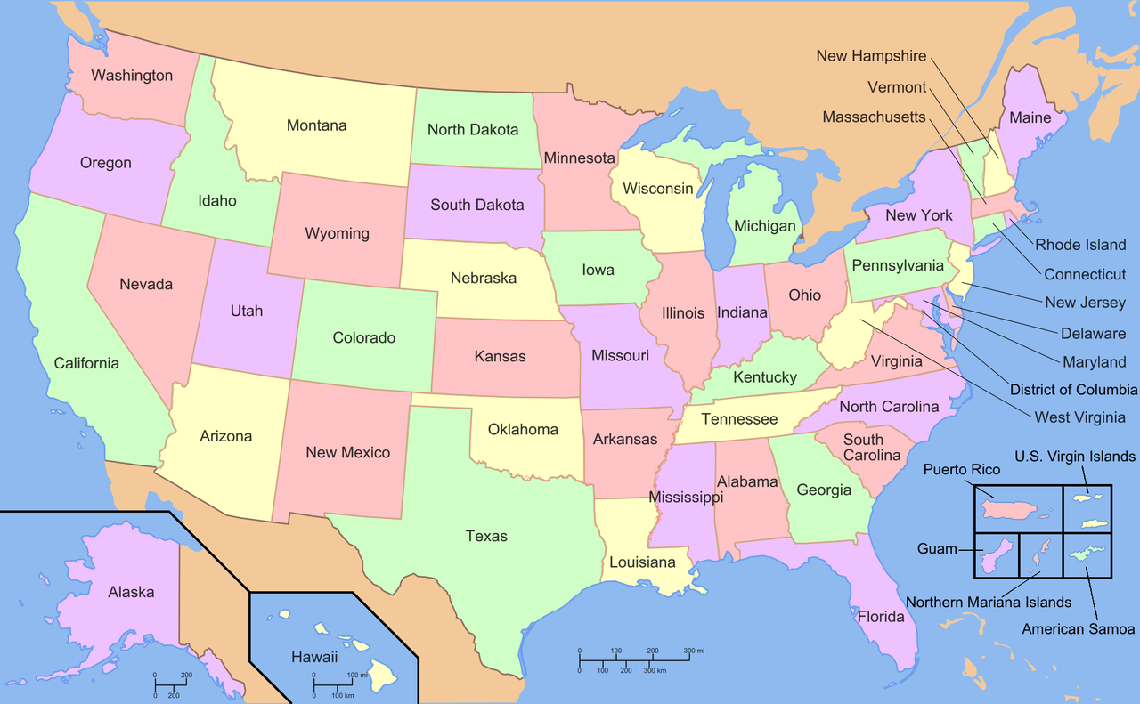
– Size: The United States is the third-largest country in the world by land area, covering approximately 3.8 million square miles.
Discover Country Living: Easygoing Life in Rural America
– Regions: It is divided into several distinct regions, including the Northeast, Midwest, South, Southwest, and West.

Discover the Dynamic Heart of Arizona: Tempe’s Vibrant Culture, History, and Innovation
– Landforms: The country boasts diverse landscapes, including mountains (e.g., Rocky Mountains, Appalachian Mountains), plains (e.g., Great Plains), deserts (e.g., Mojave Desert, Sonoran Desert), and coastal areas.
Exploring Texas: A Journey through the Lone Star State
-Major Rivers: Some of the major rivers include the Mississippi River, Missouri River, Colorado River, and Columbia River.
– Climate: The climate varies greatly depending on the region, ranging from arctic conditions in Alaska to tropical climates in Hawaii and Florida.

– Natural Wonders: The USA is home to several natural wonders, such as the Grand Canyon, Yellowstone National Park, Yosemite National Park, and the Everglades.
– Coastlines: It has extensive coastlines along the Atlantic Ocean, Pacific Ocean, and the Gulf of Mexico.
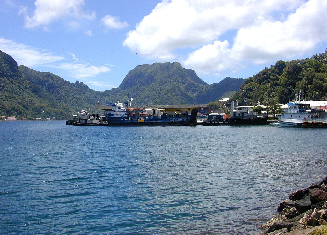
– Islands: The USA includes several islands, including Hawaii in the Pacific Ocean and territories like Puerto Rico and Guam.
– Borders: It shares borders with Canada to the north and Mexico to the south.
– Geopolitical Divisions: The country is divided into 50 states, each with its own government, and the District of Columbia, where the capital, Washington D.C., is located.
United States Geography
